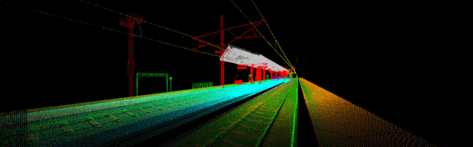
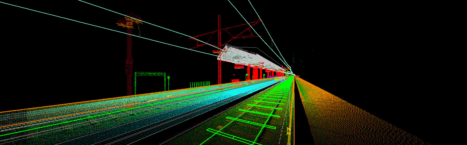
Terrestrial Static LiDAR
We at IL process the static laser data to produce accurate 3D maps, models of various facilities including, architectural buildings and monuments, roads, rails, dams, plants and industries. While preparing the maps and model we ensure that they confer to the standards and specification for the project.
We also do as built modelling and drafting of buildings including fixtures to high precision maintaining the required standards.